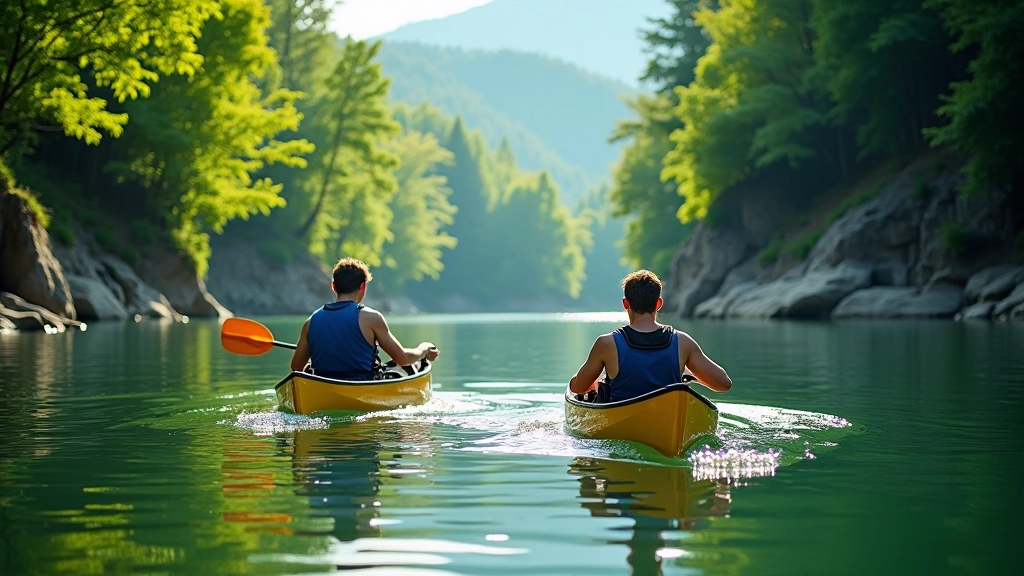
Berounka River Canoe Routes — Beginner to Advanced
Complete guide to paddling the Berounka with detailed route descriptions, difficulty ratings, and what to expect on the water.
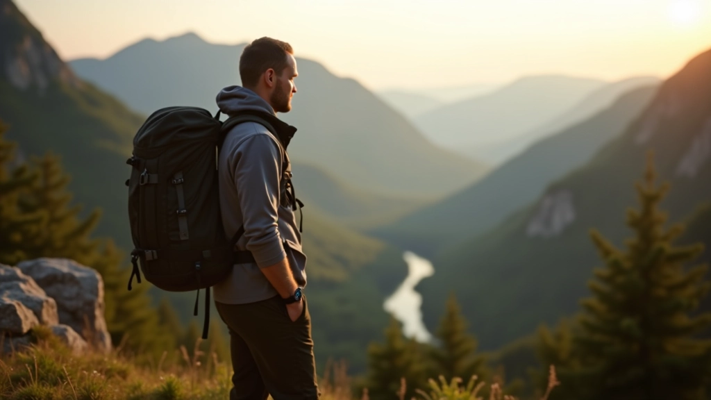
Explore the most beautiful walking paths through the Dyje valley. Detailed trail descriptions, elevation profiles, estimated times, and what wildlife you might encounter.
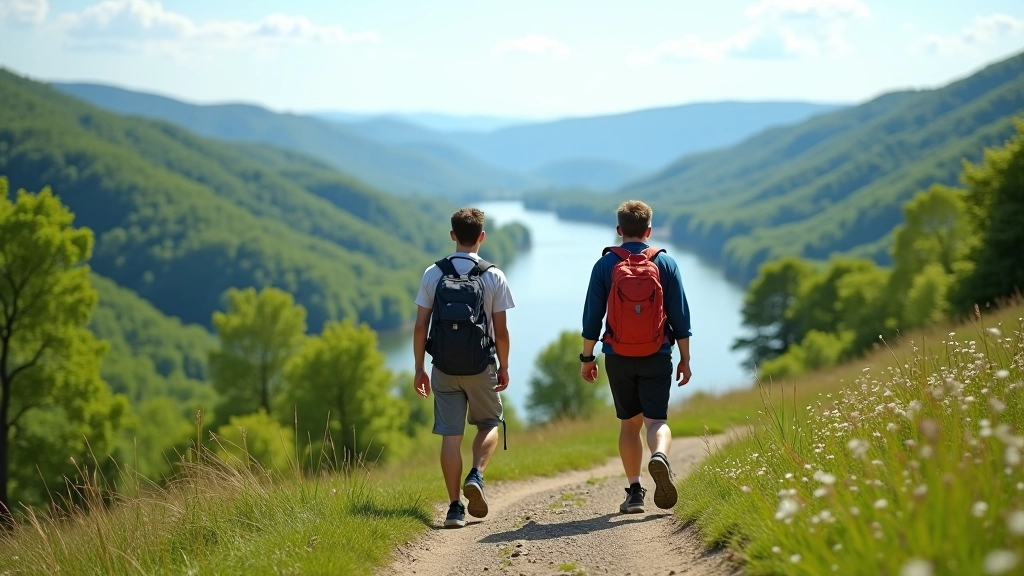
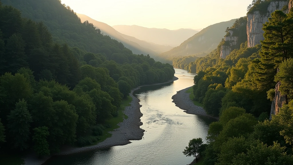
The Dyje valley’s not just another hiking destination. We’re talking about dramatic limestone cliffs, dense beech forests, and river views that’ll make you stop in your tracks. The trails here vary wildly — you’ve got everything from easy riverside walks to challenging ridge hikes. Most people don’t realize there are over 40 kilometers of marked paths winding through this area.
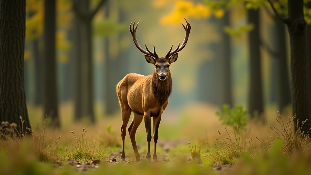
What makes it special is the balance. It’s remote enough to feel genuinely wild, but well-maintained enough that you won’t spend your time bushwhacking. The elevation changes are real — you’ll feel them — but nothing that’ll shut you out if you’re moderately fit. Plus, wildlife here is genuinely diverse. You’ll spot red deer, see various bird species, and if you’re lucky, you might catch sight of some of the rarer raptors that nest in the valley cliffs.
There’s the Vranov Ridge Trail — that’s the popular one, about 8 kilometers, roughly 3 hours depending on pace. You’ll gain maybe 280 meters elevation. The views are genuinely spectacular. The path’s well-marked, which helps because it does get a bit technical in sections with scrambling over rocks. It’s not dangerous, but you need decent footwear.
Then there’s the Riverside Loop, which is fundamentally different. It’s gentler, longer (about 12 kilometers), and stays closer to the water. You won’t have the dramatic elevation changes, but you’ll get these intimate views of the river and more chances to spot wildlife. The walking’s easier, which makes it great if you’re bringing less experienced people or if you want a more meditative pace.
The third major option is the Combined Route — basically stitching together sections of both. It’s around 15 kilometers and takes most of the day. You get variety. You get the ridge views, you get the river time, and you get to experience how the valley changes as you move through it. It’s ambitious but doable in about 5-6 hours if you’re not stopping constantly.
Start early. Seriously. The valley can get busy on weekends, and the light changes dramatically as the day progresses. Morning light is just better for photos and for seeing the wildlife. You want to be on the trail by 7:30 AM if possible.
Water’s essential. Bring at least 1.5 liters, more if it’s hot. There are springs marked on the detailed maps, but don’t rely on them being reliable. The trail passes water sources at specific points — the information boards at the trailheads show exactly where.
The best time to visit is late spring through early autumn. April and May are gorgeous with fresh growth. September and October have the most stable weather and fewer crowds. Winter’s beautiful too if you’re equipped for it, but snow can make some sections sketchy.
Red deer are the valley’s most visible large animals. You’ll probably spot tracks even if you don’t see the animals themselves. Early morning and late afternoon are your best chances. They’re not aggressive, but they’ll bolt if they hear you, so moving quietly pays off.
Birdlife is legitimately impressive. The valley’s a migration corridor, which means you’ll see variety depending on the season. Golden eagles nest in the cliff faces. You’ll hear various woodpeckers. The riverside areas have kingfishers if you’re patient and quiet. Bring binoculars if you’re into birding — it’s worth it.
Smaller animals are everywhere but harder to spot. You might see martens, badgers, and various smaller rodents. Adders live here too, but they’re genuinely non-aggressive and you won’t encounter them if you’re making normal amounts of noise on the trail. Just watch where you put your hands when scrambling over rocks.
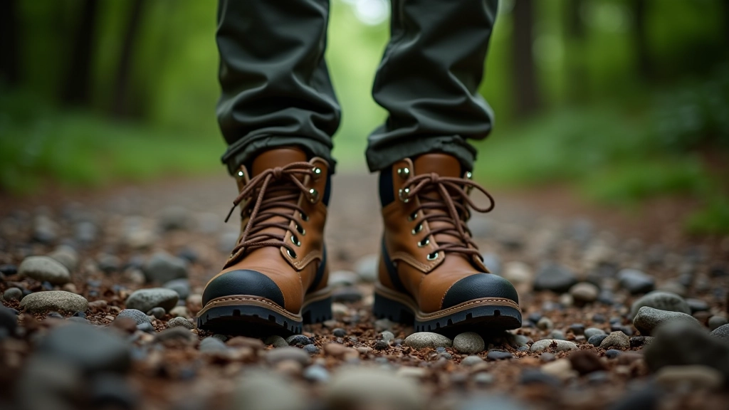
The terrain’s not technically difficult, but it demands respect. The ridge trail has exposed sections where a fall would be serious. Proper footwear isn’t optional — it’s the difference between a safe walk and a twisted ankle. The rocks get slippery when wet, and limestone’s particularly treacherous.
Weather changes fast in valleys. You can start with clear skies and find yourself in fog within an hour. It’s not dangerous if you’re prepared, but it’s disorienting. That’s why a detailed map matters — you need to navigate by landmarks, not just views. GPS is a backup, not a primary tool.
The ridge sections have drop-offs. Stay on marked paths. The view’s the same from the safe route as it is from the edge.
Tell someone where you’re going and when you expect to return. Signal coverage is inconsistent. A basic satellite messenger is useful for longer routes.
Be honest about your fitness level. The ridge trail’s not technical, but it’s consistent climbing. If you haven’t hiked in a while, start with the riverside loop.
In an emergency, the valley’s accessible from multiple points. You’re never truly remote. The marked trails connect to roads every few kilometers. But don’t rely on this. Carry supplies. Know your limits. Tell people where you’re going. These aren’t optional precautions — they’re the difference between a good story and a bad one.
This article provides educational information about walking trails and outdoor activities in the Dyje Valley. Conditions on trails change seasonally and after weather events. Trail difficulty ratings are subjective and depend on your individual fitness and experience level. Always check current local conditions before heading out, carry appropriate safety equipment, and inform someone of your plans. Weather in mountain valleys can change rapidly — be prepared for sudden changes. This information isn’t a substitute for proper training, local knowledge, or professional guidance. Each person’s physical capabilities differ, so assess your own fitness honestly before attempting any route.